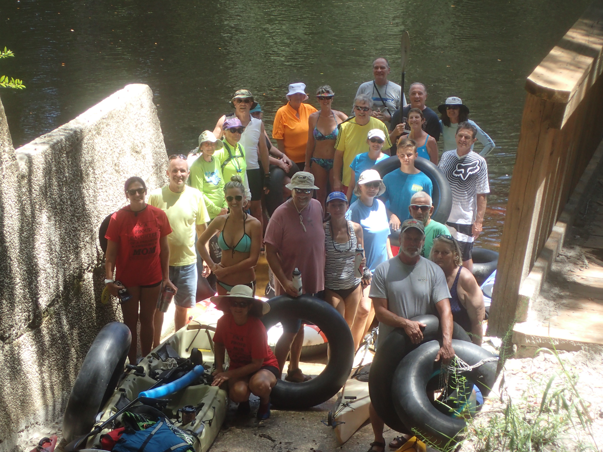
Paddling Options
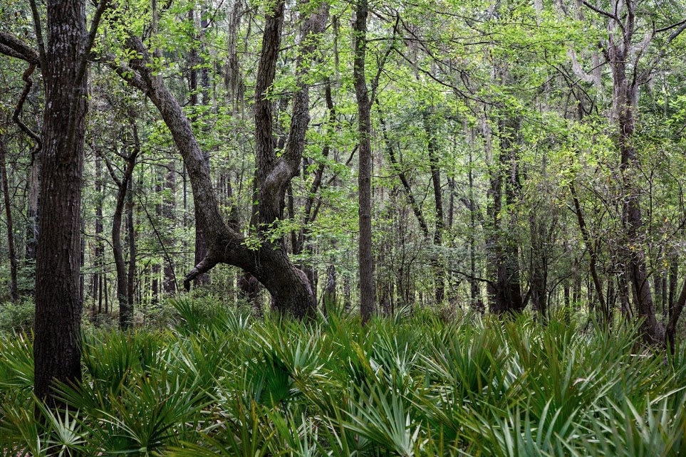
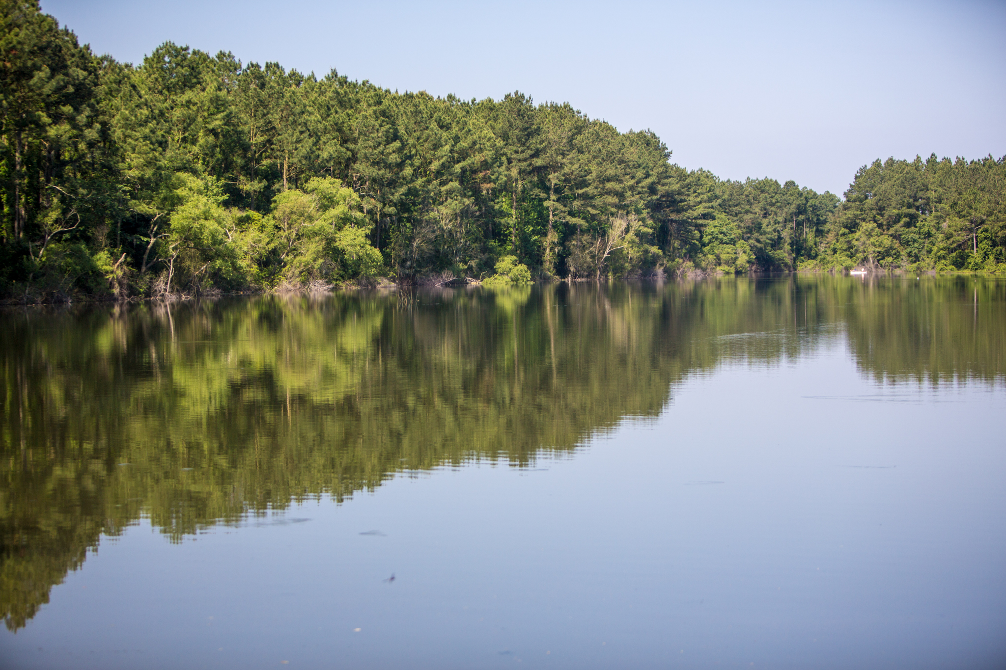
The Suwannee River flows out of the Okeefenokee Swamp in Fargo, Georgia, and flows unimpeded to the town of Suwannee on the Gulf of Mexico. The Suwannee River Water Management District maintains land along the river to preserve the natural environment along the watercourse.
Access points are measured by miles from the mouth of the river in the Gulf. The paddling distance from one point to another is the difference between their mileages. For example, a paddle from CR 6 (mile 196) to Cone Bridge Road (mile 187) is about 9 miles. (Of course, the boat ramps aren't at exact mileages; this page approximates within a mile.)
American Canoe is an outfitter in White Springs on Bridge Street on the other side of the blinking light from headquarters. They offer canoe rentals and shuttle services. The maps below show routes from HQ to the various boat ramps.
Some useful webpages for additional information:
Above White Springs
Fargo GA (mile 221) Map
Access: From White Springs, travel north on CR135 about 15 miles, turn right on County Road 6 to US 441, turn left and continue 16 miles to Fargo. Turn left on GA 94W, cross the river and turn right to the Stephen Foster Memorial Monument parking lot and boat ramp.
Roline tract (mile 202) Map
Access: From White Springs, travel north on CR135 about 15 miles, cross over County Road 6, continue north on Woodpecker Road 2 miles, then turn right on NE 38th Trail to the parking area and ramp.
Turner tract (mile 198) Map
Access: From White Springs, travel north on CR135 about 15 miles, cross over County Road 6, continue north on Woodpecker Road about a mile, then turn right on NE 25th Way to the parking area and ramp.
County Rd 6 (mile 196) Map
Access: From White Springs, travel north on CR135 about 15 miles, then turn right on County Road 6 for a mile, then follow the double track dirt path parallel to CR 6 as it approaches the river. The is space to park as you near the river.
Cone Bridge Rd (mile 187) Map
Access: From White Springs, travel south about 3 miles on US 41 to Lassie Black Road, then turn left on US 441 after about 5 miles, then turn left on Cone Bridge Road after 8 miles, to the parking area and ramp.
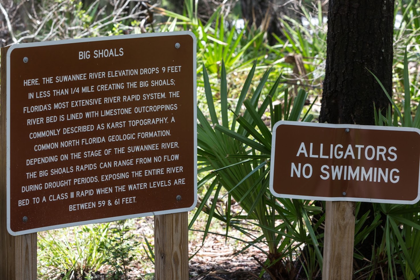
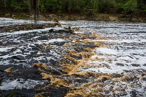
Big Shoals (mile 177) Map
Access: From White Springs, travel north on CR135 a few miles, turn right on SE 94th St, to the parking area in Big Shoals State Park.
Note: This take out is just above Big Shoals, the largest whitewater rapids in Florida. Unless the river is very high, or you are very experienced, missing this takeout can be dangerous. If you miss this takeout, there is portage takeout on the other side of the river, and then your only option will be to put back into the river below the shoals and continue to Wayside Park in White Springs.
Below White Springs
Wayside Park (mile 171) Map
Access: From White Springs, travel south about 2 miles on US 41 to Wayside Park. This is also one of the ends of the Bridge To Bridge mountain bike trail.
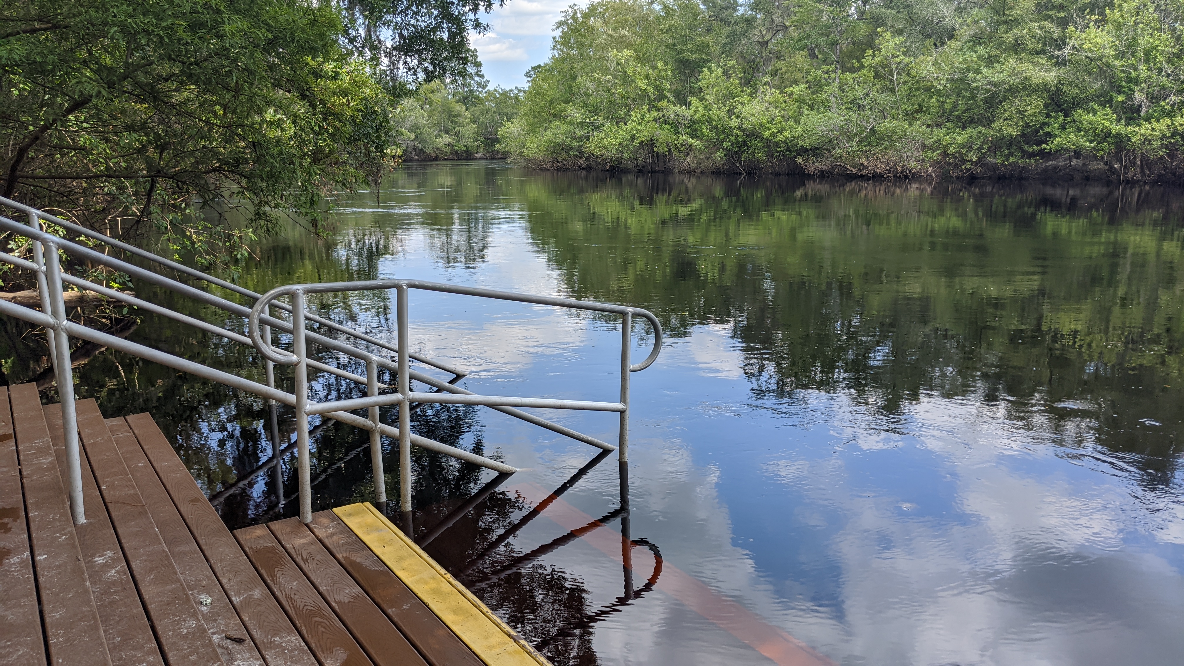
Stephen Foster Folk Culture Center State Park (mile 168) Map
Access: From White Springs, travel north about on US 41 to the bottom of the hill, then follow the signs in the park to the boat ramp.
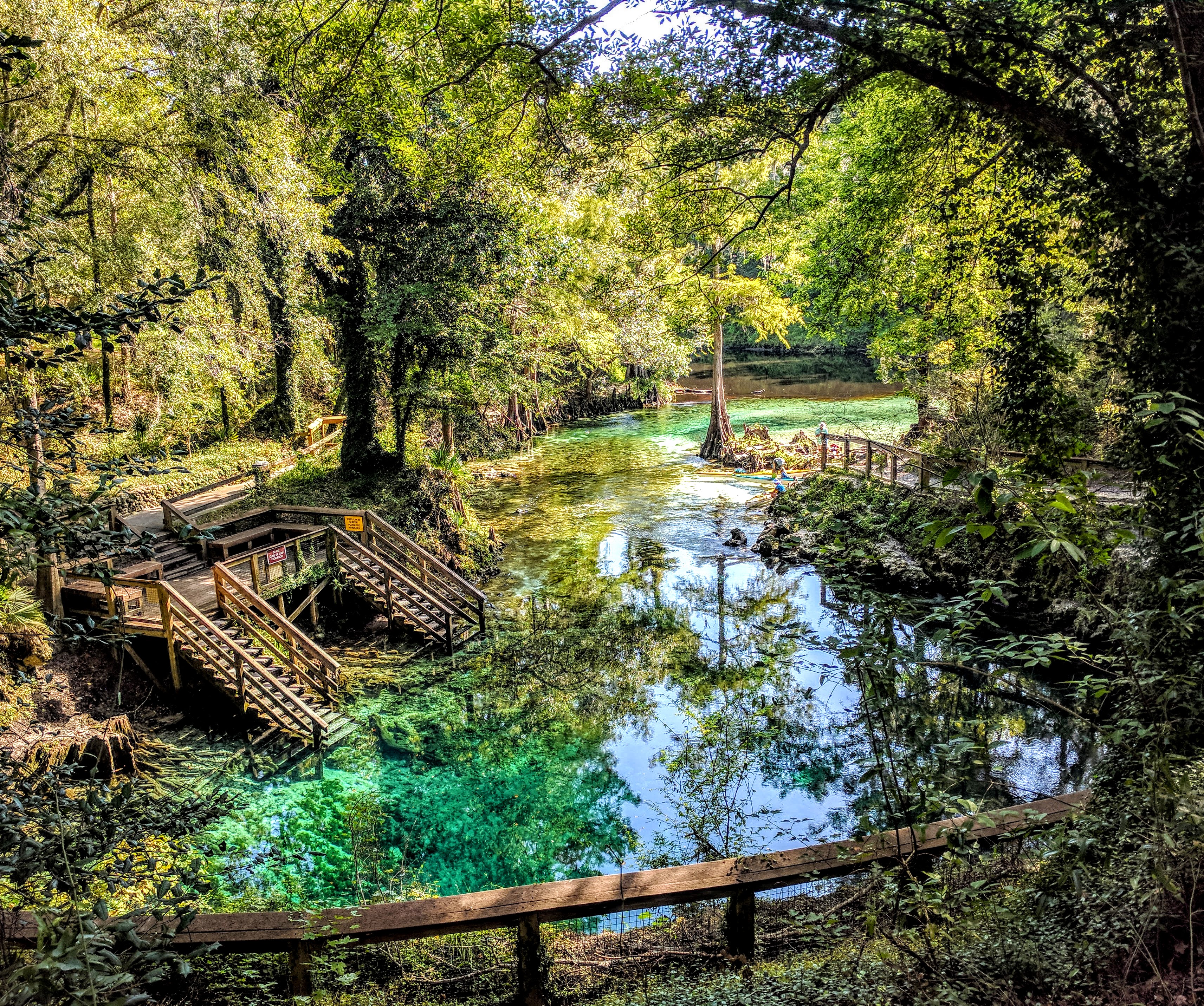
Blue Sink (mile 163) Map
Access: From White Springs, travel south about 3 miles on Hwy 136 to 27th Road, turn right and the access is about 3 miles down the road. Note that this take-out will be on the LEFT side of the river.
Swift Creek (mile 163) Map
Access: From White Springs, travel west about 3 miles on CR 25A to the Swift Creek Tract sign, turn left and follow the doubletrack to a dirt parking lot. Note that this take-out will be on the RIGHT side of the river, a little past Blue Sink on the other bank. Also note that there is not a boat ramp here, just a sandy bank. It is recommended that you make yourself familiar with this takeout point before getting on the river.
Rocky Creek (mile 162) Map
Access: From White Springs, travel south about 4 miles on Hwy 136 to Hwy 136A, turn right and continue less than a mile 53rd Road. Turn right and after almost 2 miles the road turns left and becomes 60th Place. Limited parking is available at the end of the road.
Woods Ferry (mile 158) Map
Access: From White Springs, travel south about 4 miles on Hwy 136 to Hwy 136A, turn right and after 3 miles turn right on 57th Drive. The entrance to the tract is about a mile down the road.